

Bearspaw Estates
Rocky View's executive estate belt, between Cochrane and the northwest edge of Calgary — where two-acre driveways end at custom homes and half of them face the Rockies.
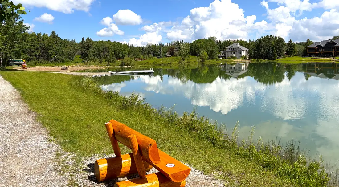
Bearspaw is the address people mean by "estate acreage near Calgary." Along Bearspaw Road and Lochend Road it mixes original ranch quarters with polished enclaves like Church Ranches, Watermark, and Bearspaw Country Estates — gated ponds, riding trails, and custom builds on two-to-four-acre parcels, with the city's northwest amenities barely ten minutes away.
Well and septic, districting, and covenants vary enclave to enclave — the homework we do before you fall for the view.
Bearspaw FAQs
How far is Bearspaw from Cochrane and Calgary?
How big are Bearspaw acreages?
Are Bearspaw properties on well and septic?
Subdivisions in this area
The Bearspaw belt is not one subdivision but a dozen. Rocky View holds an approved plan for each; distances are measured from Cochrane town centre.
- Glendale Road9.3 km E
- Glendale Ranch11.4 km ENE
- Bearspaw Country Residential12.1 km E
- Woodland Range14.3 km E
- Indigo Hills15.9 km E
- Bearsnest Estates16.4 km E
- Bearspaw Heights16.6 km E
- Graystone Estates17.2 km E
- Silverhorn17.7 km E
- Watermark20.4 km ESE
- Bearspaw River Viewplan is map-only — no legal description
- Church Ranchespredates the County's plan register
Located from Rocky View County’s approved conceptual schemes, each of which states a legal land description. Distances are by road from the town centre, via OpenStreetMap routing. Subdivisions built before the County’s plan process are noted as such.